Snow Observations List
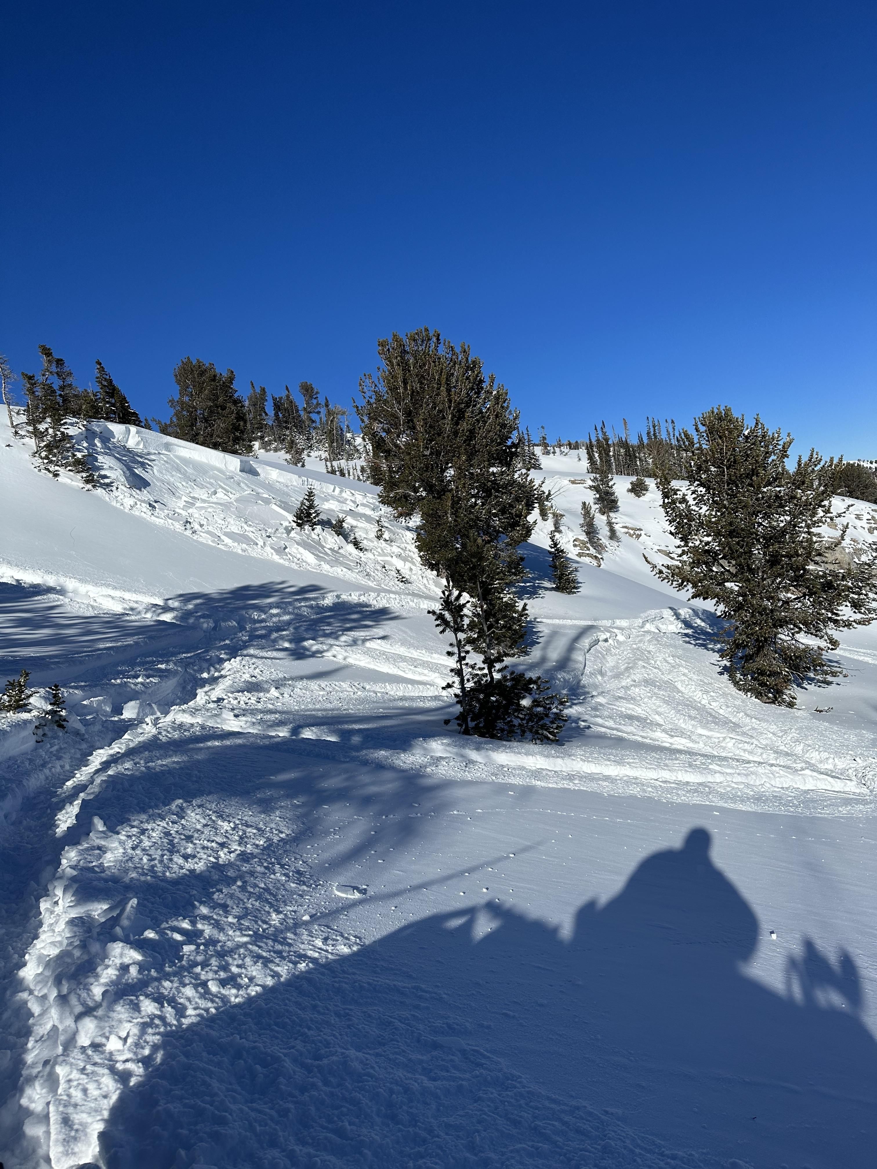
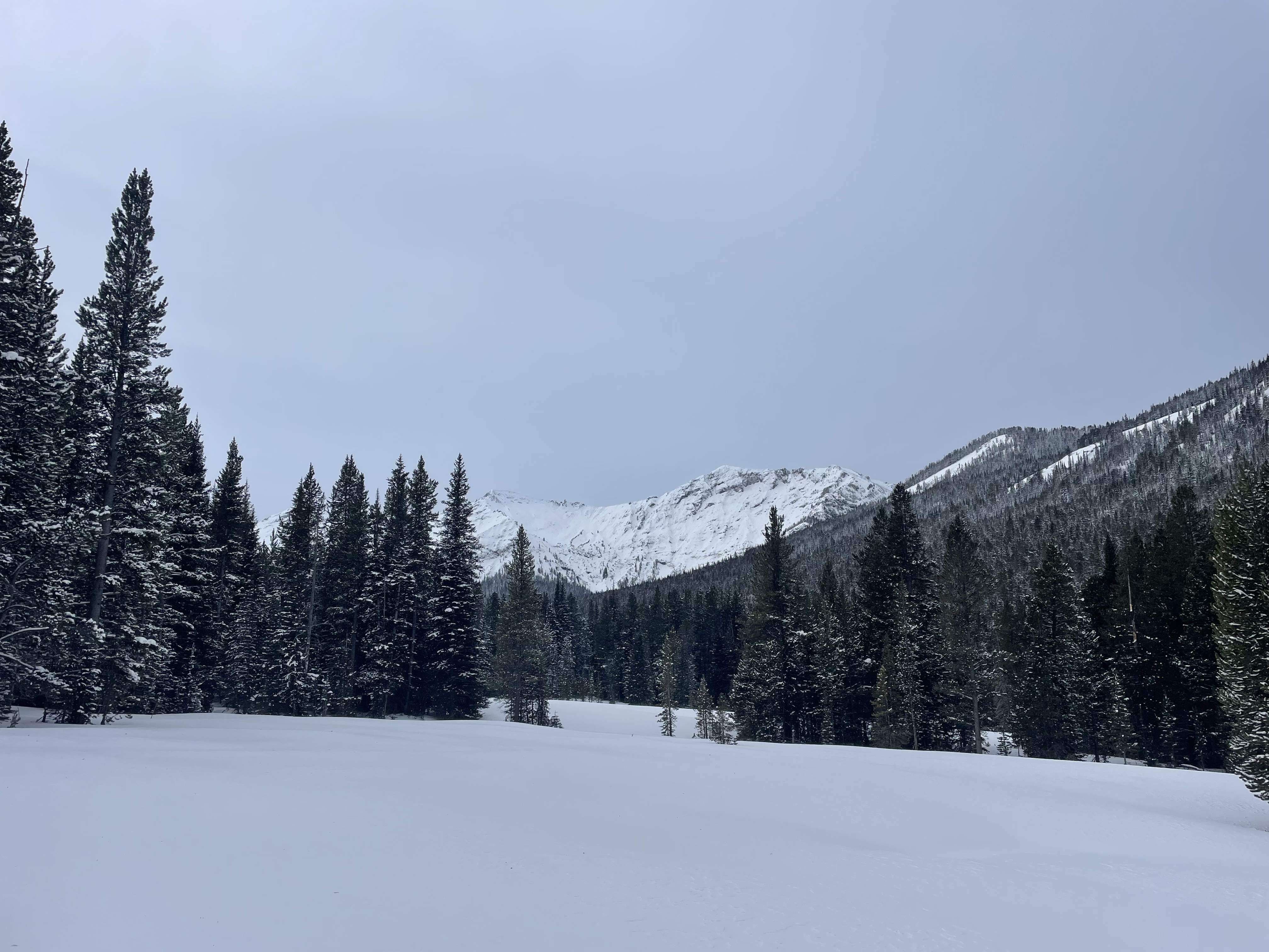
From email: "We skied a 25 degree west slope today on Woody Ridge. No sign of instability. No wumphing or cracking. We all recognized the poor snow structure we were on and we pulled skins when the slope angle approached 30 deg. 5 degrees, at 100pm, light breeze.
HS 110-115 cm
new snow 30 cm. fairly cohesive but not bonded to old-variable
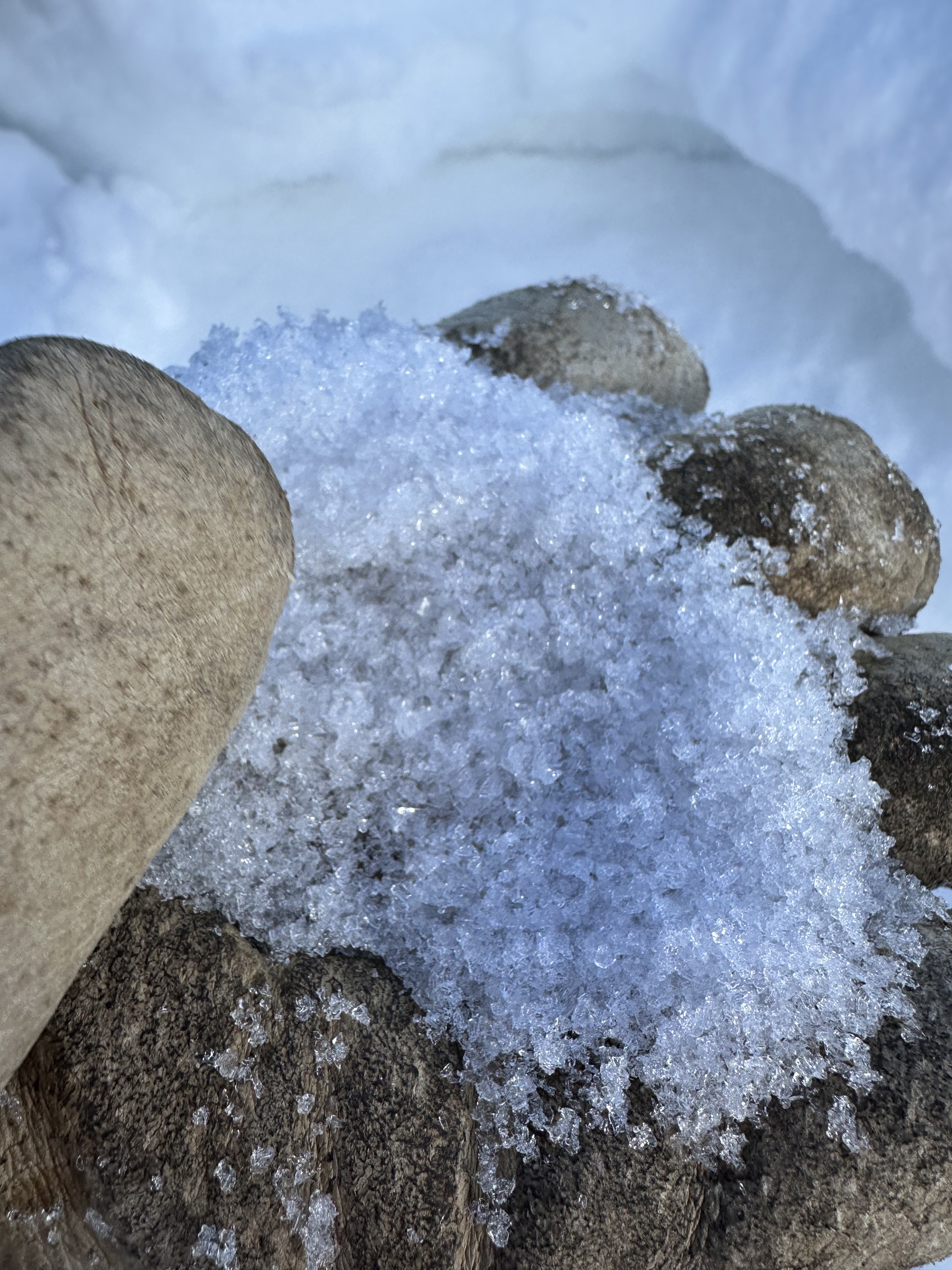
Layer of facets below new snow and above hard layer 60cm deep
Hard layer 10-15cm thick
facets below hard layer
The snowpack depth was variable. New snow not well bonded to old snow in places we climbed to 9550 and stopped as terrain got steeper"
Full Snow Observation Report
We skied a 25 degree west slope today on Woody Ridge. No sign of instability. No wumphing or cracking. No wind effected snow, in forest
5 degrees,at 100pm, light breeze.
HS 110-115 cm
new snow 30 cm. fairly cohesive but not bonded to old-variable
Layer of facets below new snow and above hard layer 60cm deep
Hard layer 10-15cm thick
facets below hard layer
The snowpack depth was variable. New snow not well bonded to old snow in places
we climbed to 9550 and stopped as terrain got steeper
Coverage was good. Very good skiing
I might add that several times during the day we commented on the difference in red flags we experienced from Beau's report the day before. We were both S. of Cooke, but differences in that we were in wind-protected forest most of the day, although in meadows above about 9K, more importantly, perhaps is aspect - we were W. and I think from photos, Beau was on an E. aspect. Although we didn't get collapsing or shooting cracks, we all recognized the poor snow structure we were on and we pulled skins when slope angle approached 30 deg.
Average snow depth was only in the 110 cm range and the terrain we were in looked very different from that in a year with a normal snowpack. Sill some snow-snakes and staubs concealed barely below the surface.
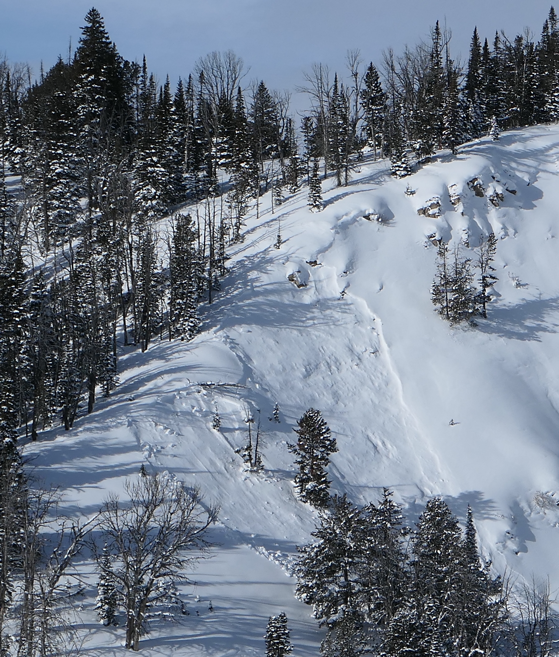
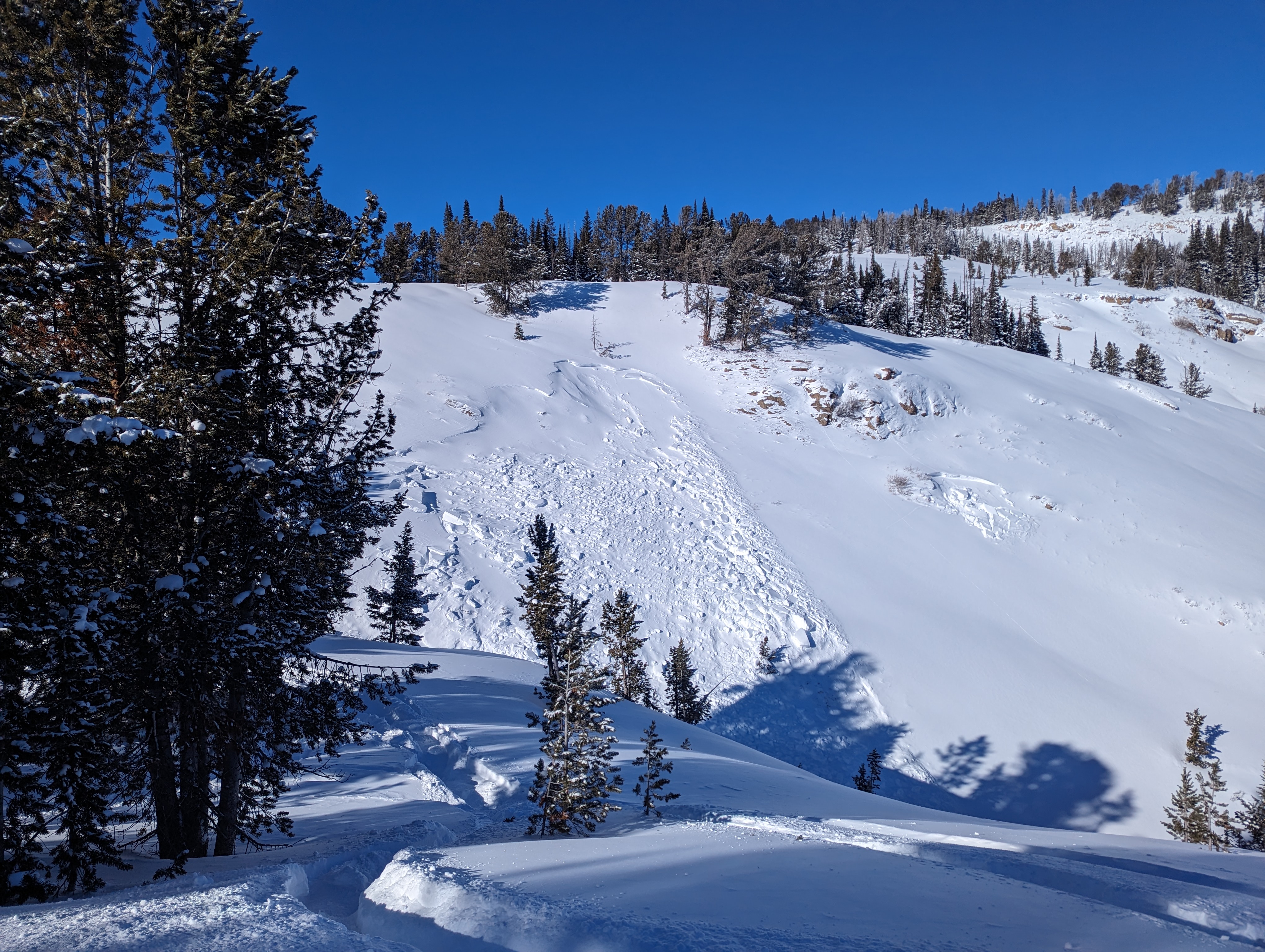
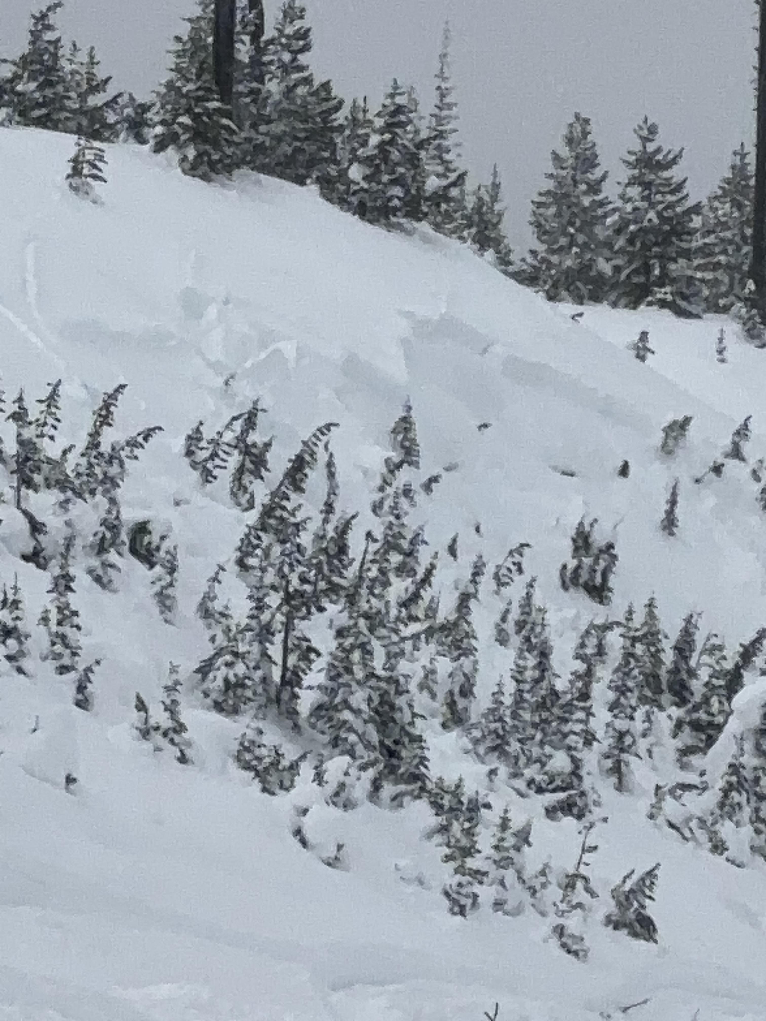
Full Snow Observation ReportRode up Denny Creek and out along Lionhead Ridge through Watkins Creek to the divide with Targhee Creek. Saw evidence of numerous older avalanches along the ridgeline and in lower steep meadows that likely broke last week (1/10-1/11). The crowns of these slides were blown in, but would estimate they generally broke 1-2 ft deep. Some broke quite wide ~1000 ft. Saw a couple smaller slides that looked to be a bit fresher as well.
Got a number of collapses and shooting cracks as we rode today, shooting out 20+ ft.
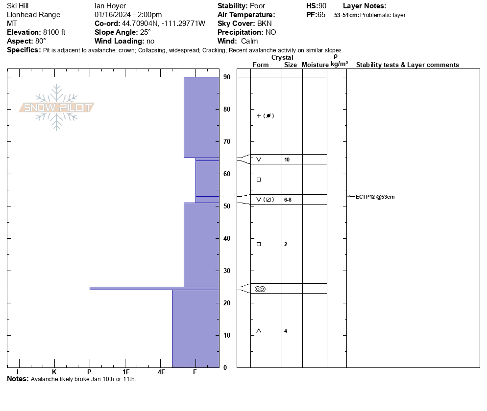
Stopped and dug a pit at the crown of an avalanche that broke on the north end of ski hill (likely during last weeks warning). Broke ~1 ft deep, 50 ft wide and ran 100 vertical. Another similar slide broke at the same time on the south end of ski hill. Today, we got an ECTP12 on the surface hoar about a foot deep.
The snowpack remains unstable and human triggered avalanches (including remote triggers from a distance) remain likely. Expect the danger to rise as it snows over the next couple days.
Full Snow Observation ReportWarning last week verified with all the activity. Solid CONSIDERABLE today. Would still take another 0.5" SWE with continued snowfall to start thinking warning.
We toured into Mount Blackmore and up the standard route on the southeast-facing shoulder. Winds at higher elevations resulted in some drifting and there were pillows of recently drifted snow evident on the east face of Blackmore. We did not experience any collapsing, shooting cracks, or obvious signs of instability on our tour.
We dug at the top of the shoulder with unremarkable results (ECTN5 5" below the surface on a hardness change). The structure is very weak but it lacks a cohesive slab in many areas to push it over the edge toward instability. It is possible to trigger an avalanche on slopes with recent wind-drifting or where a thicker slab is resting on persistent weak layers. Avoid wind-loaded slopes and you will minimize the chances of finding a trigger-point.
With snow on the way, we expect to see the danger rise in the coming days. Recent avalanche activity, collapsing, and shooting cracks are all reasons to chose travel on slopes less than 30 degrees in steepness.
Full Snow Observation ReportThe danger was MODERATE. I anticipate the snowpack can take about 0.5" SWE before jumping to CONSIDERABLE across the board. Obviously, wind-loaded could increase the danger in specific areas with less.
Wind slabs at the top of the ridge approximately 4-8 inches deep. Continued wind loading down the wolverine bowl, slabs softer the lower you go. Snowpack has about 1.5 feet of facets with a hard layer on top. New snow building up on top of that layer. Saw one small natural avalanche nearby, appeared a day old.
Full Snow Observation ReportOn my tour up the main fork of Hyalite today I noticed two slides near Divide Peak caused by wind loading. There was a wind skim on all snow surfaces in the Basin and I experiences a bit of collapsing while walking across the basin in the flats on small wind loaded pockets
Full Snow Observation ReportFrom FB Messenger: "Major fractures and shooting cracks across whole hillsides today. Dry Fork. Targhee Pass."
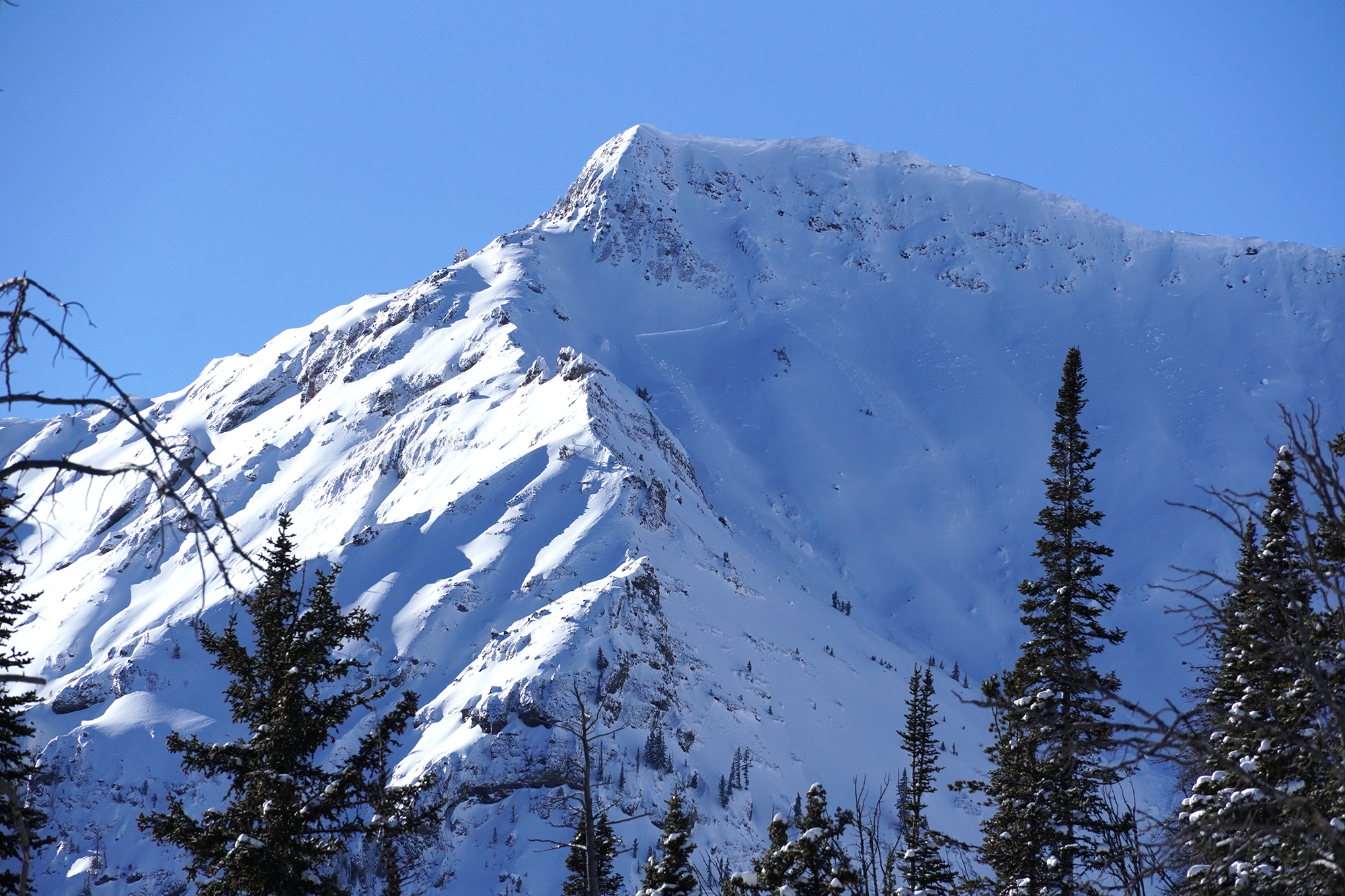
Full Snow Observation ReportWhile riding today on Lionhead we saw several natural releases on steeper terrain Mainly on Targhee Peak. On all aspects of slopes we experienced large cracks and collapses that would extended 75 plus yards ahead of our sled. We did not venture into steeper slopes but it sure felt like they would slide easily if we did!
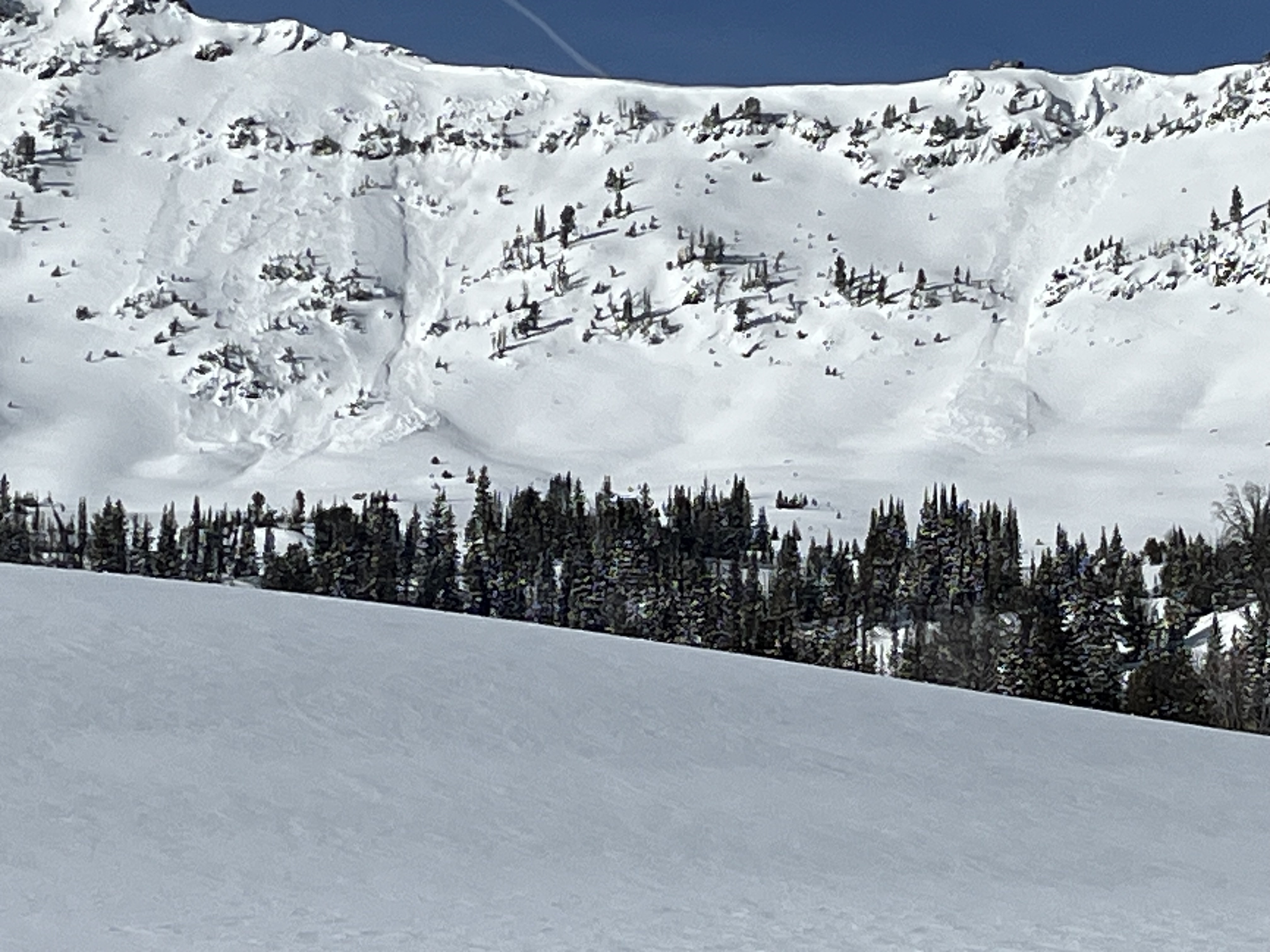
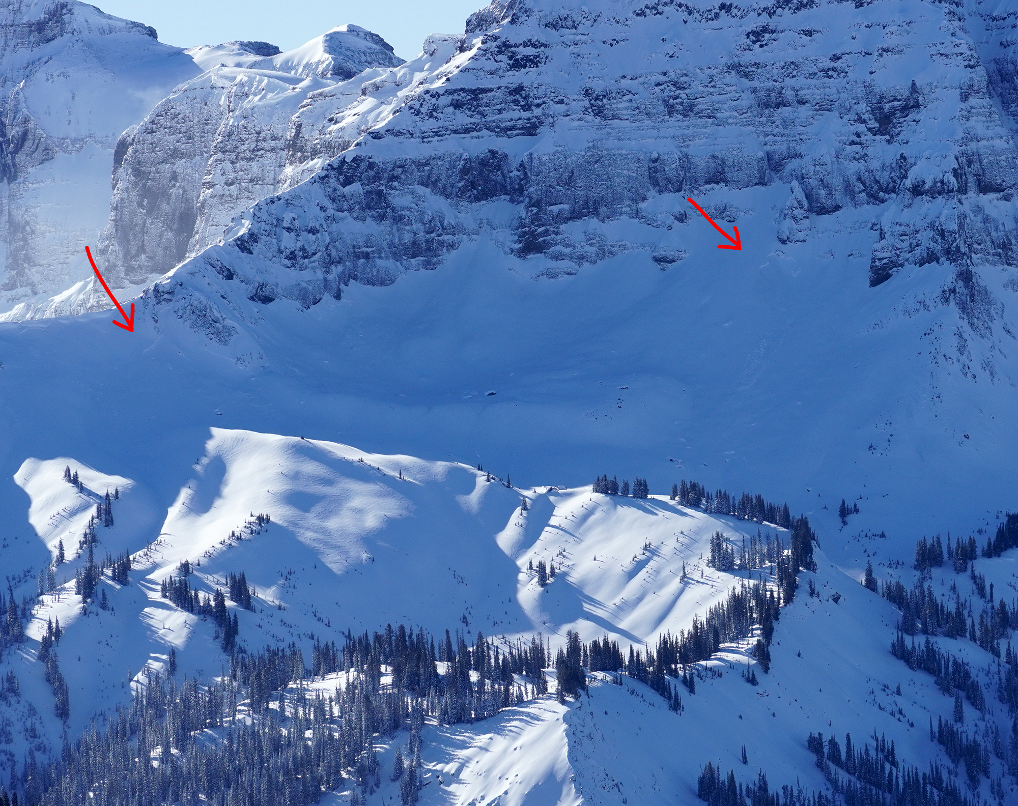
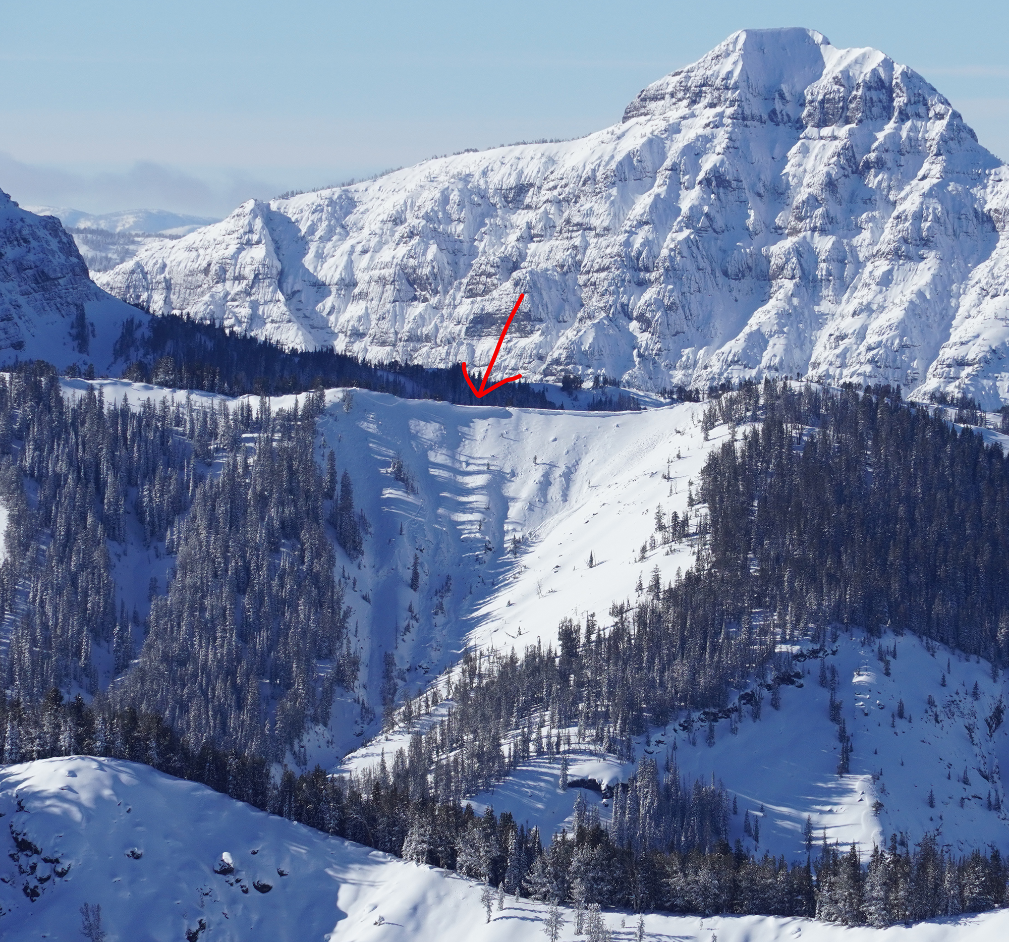
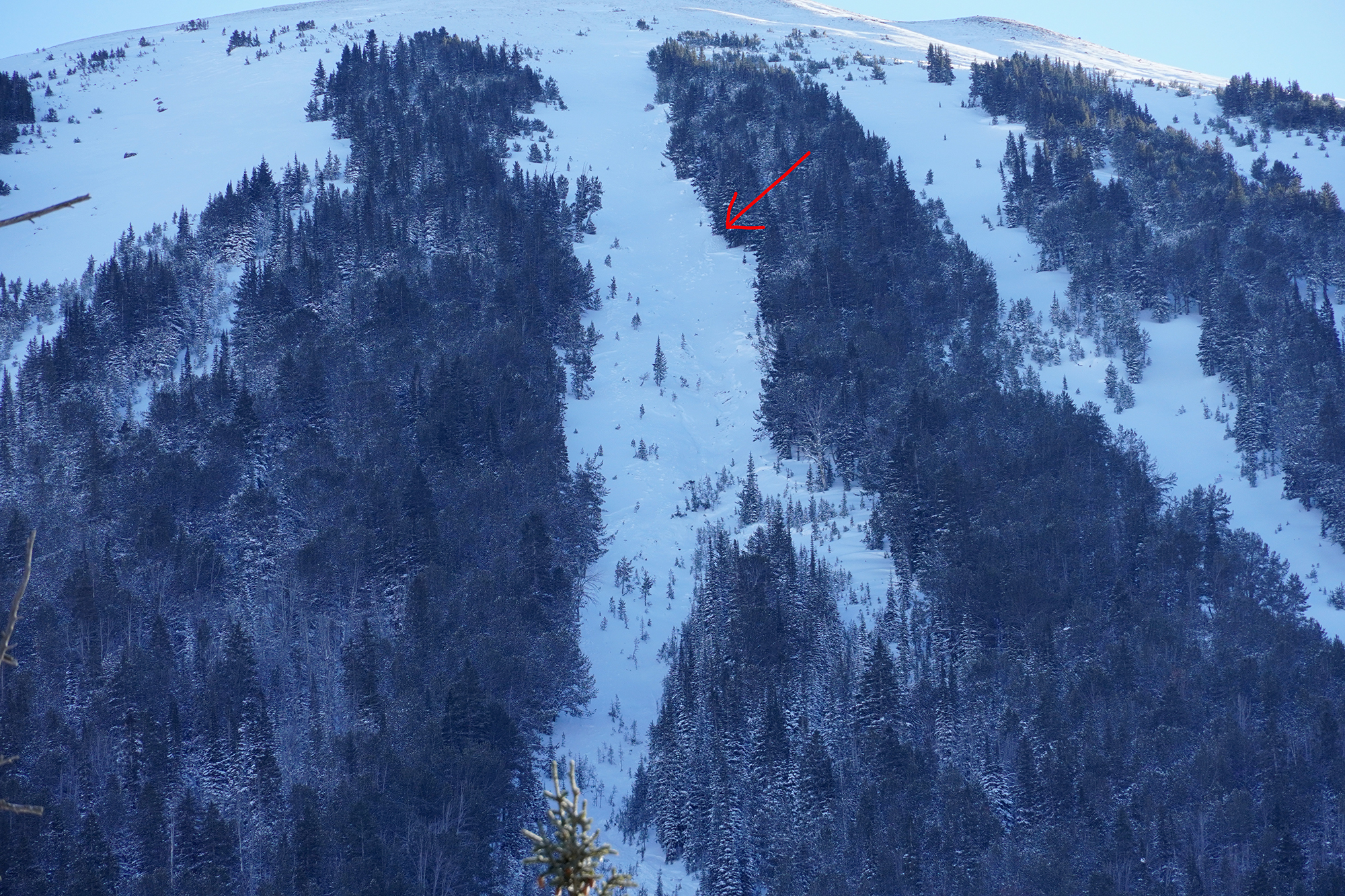
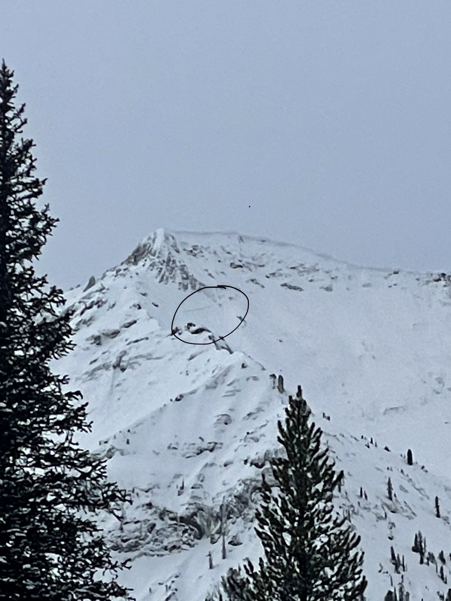
Full Snow Observation ReportSki toured south of Cooke City today to try and take stock of the recent natural avalanche cycle.
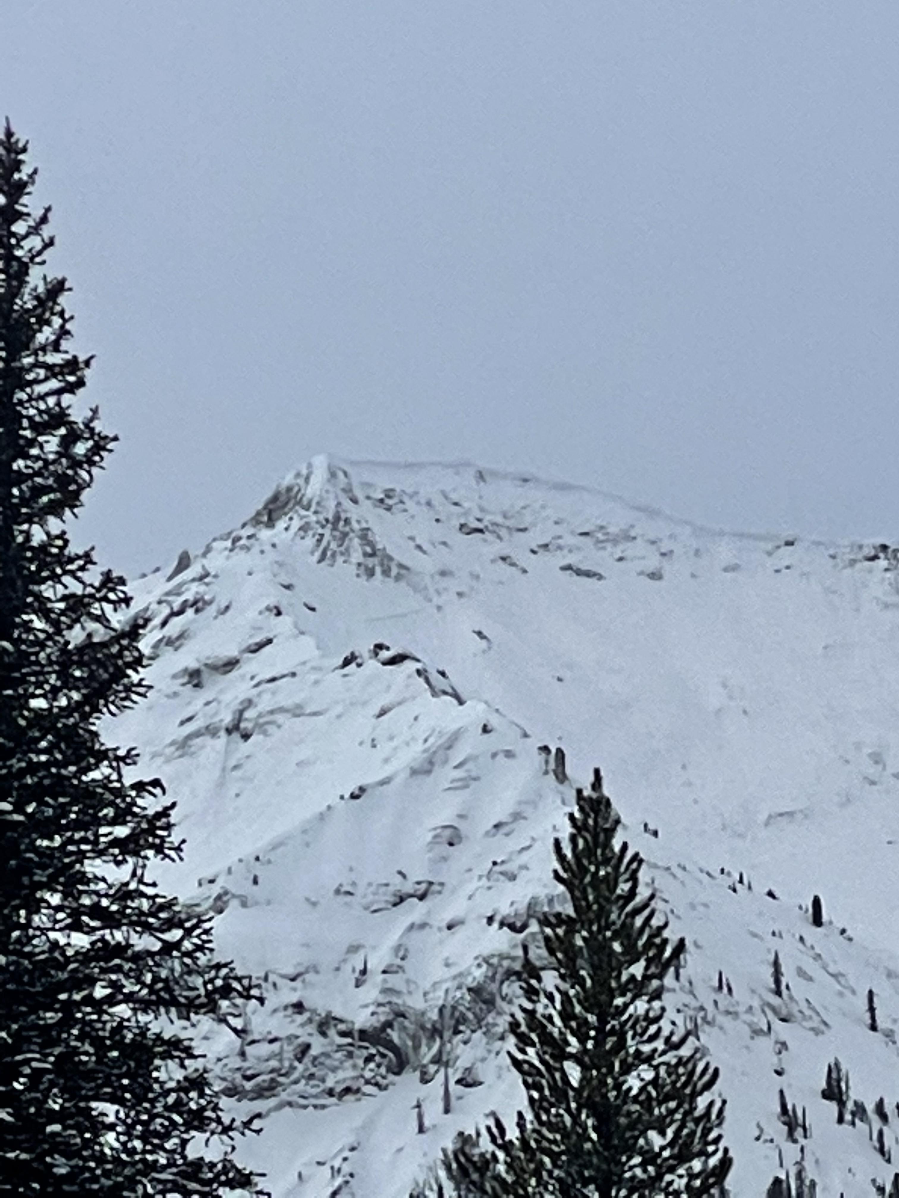
Avalanches were observed on all aspects, except south. A few photos attached.
Of note, many crowns have quickly disappeared, with additional wind loading. Particularly from recent N, NW winds.
Still getting widespread collapsing and cracking, particularly above about 9300'.
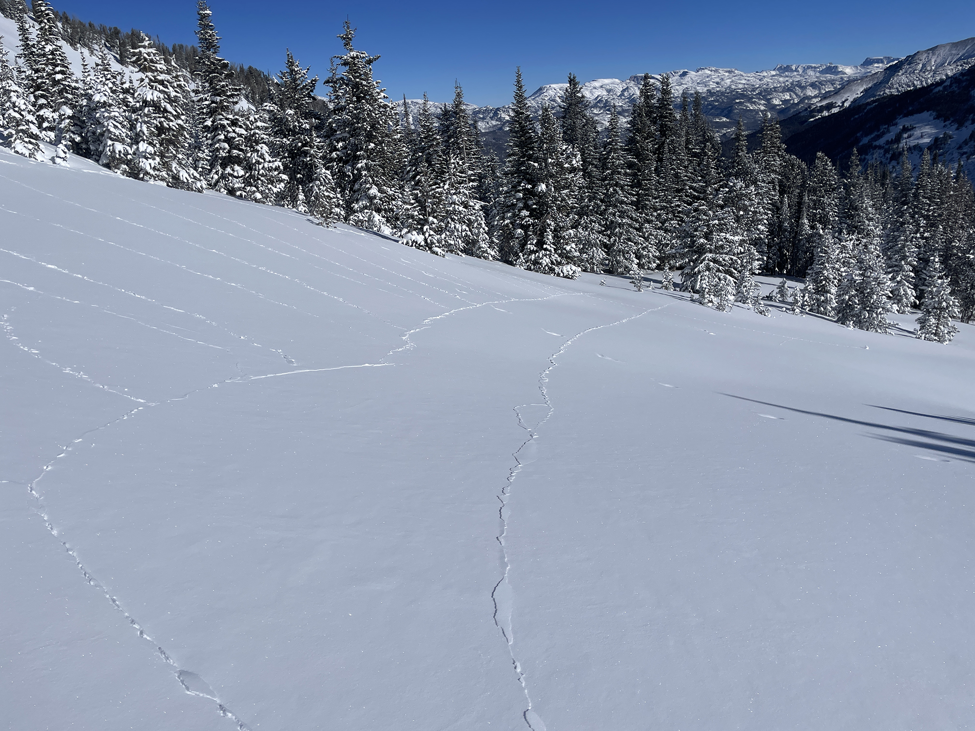
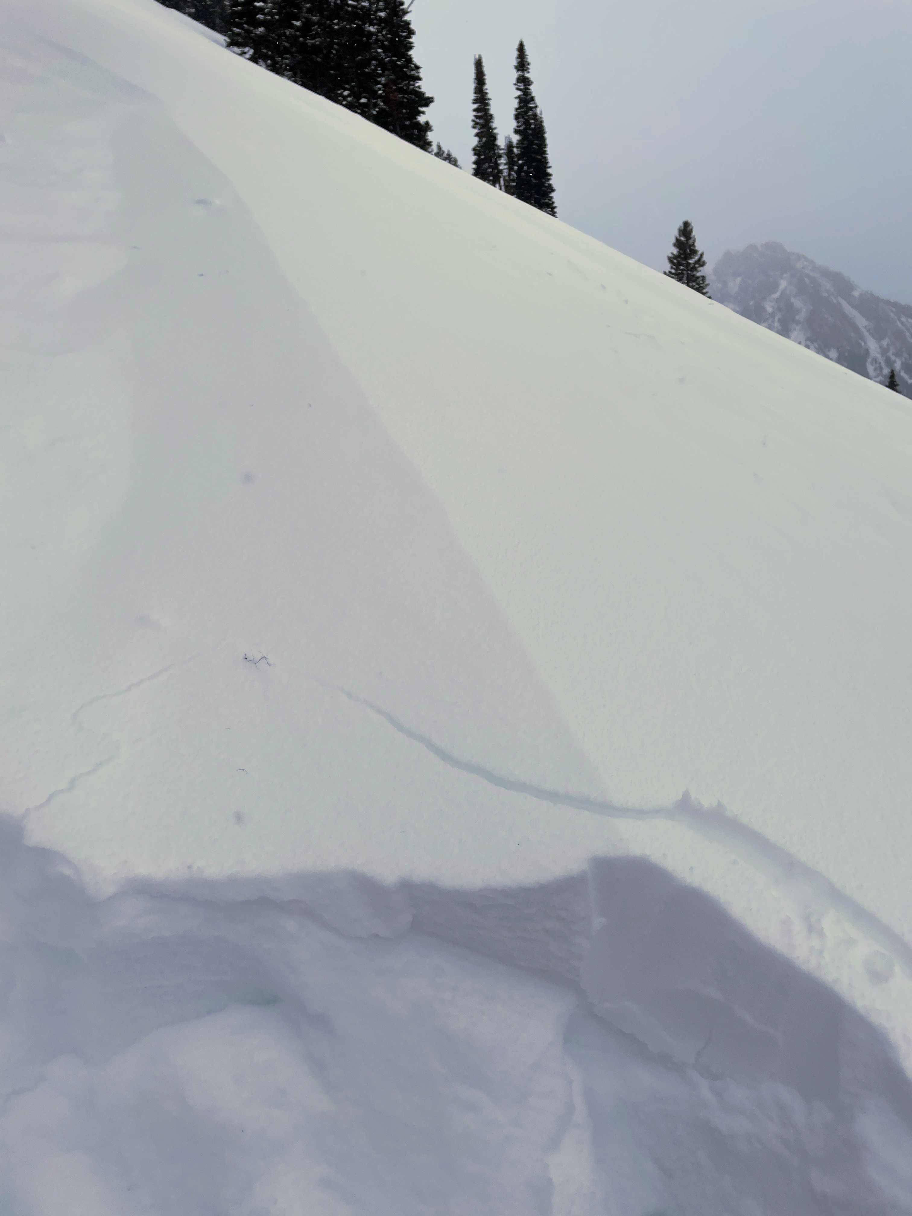
One collapse, in relatively wind sheltered terrain, photo attached, was wild in that the cracks shot away from me about 100' relatively slowly, and then circled back in a big loop! About a 3 second symphony of movement in the snow.
Higher in more wind exposed terrain, the collapses became spooky, with Pencil hard wind slab in places. There the collapsing was much louder- and communicated the large mass of snow above that weak layer. A couple of times they made me jump, and I am typically quite comfortable with whumpfing when I am in safe terrain. It's just humbling when you feel the energy of a very large mass of snow move.
Good to give those hard wind slabs an extra wide margin though, because I've once seen a section of flat ridgeline avalanche into a connected steep slope (deep slab/ hard slab in the Wasatch, 20yrs ago).
Full Snow Observation ReportWe toured into Beehive and Bear Basins on the final day of the Arctic deep freeze. No forth coming signs of widespread instability, but we found unstable results in our snowpit on the SW facing slope to the south of Tyler's (ECTP18). The slab failed and propagated on depth hoar near the bottom of the snowpack. North of Spanky's in Bear Basin, there was plenty of weak snow but insufficient slab to propagate failure in tests (ECTX and PST 30/100 Slab Fracture).
The weak snow making up the foundation is nearly universal, but the snowpack is not universally unstable. Where these weak layers are capped by a sufficient slab of cohesive snow from wind-loaded drifts or recent storms, they can produce avalanches. Avoid the avalanches by seeking out lower-angle terrain or minimize the odds of triggering a slide by selecting terrain sheltered from recent wind loading and testing for instability before considering steeper terrain.
Full Snow Observation ReportThe danger was MODERATE.
I was cutting down a hill and this slide broke loose around 20 feet away, no one was hurt I’ll attach screenshots of where we were on maps and a picture of the minor slide.
Full Snow Observation ReportFrom the photos the location might be near here: 44°44'16.25"N, 111°22'46.81"W
ECT failed at 9 at most recent layer of facets, 50cm above ground level, 15cm thick, approaching ball bearing consistency.
East facing slope, 7848’
Total snow depth 75 cm
Hard slab between 35-50cm, second facet layer at 25cm, consolidated to ground, couldn't get either the middle slab or lower facet layers to fail.
Some cracking while we skied out.
From email: "Beehive today. HS on an east aspect at 8740' was 80 cm. F to 4F from 85 to 55, and then a pile of facets broken up by a few thin MFCR interfaces. Interfaces at 55, 45, and 35. 35 to 5 is 2-4 mm 4F DH, sitting on 5 cm P+ MFCR that is also faceting out.
ECT's would initiate at one of the three interfaces, but none of the 5 propagated at all beyond the shovel width. CT13 SC @ 25 within the DH.
Super weak structure, but not a sufficient slab where we were to drive propagation.
We crossed paths with a party in the lot at the end of the day who descended the east shots into Bear Basin. They found a similar structure and reported no reactivity during their facet pow ski. "
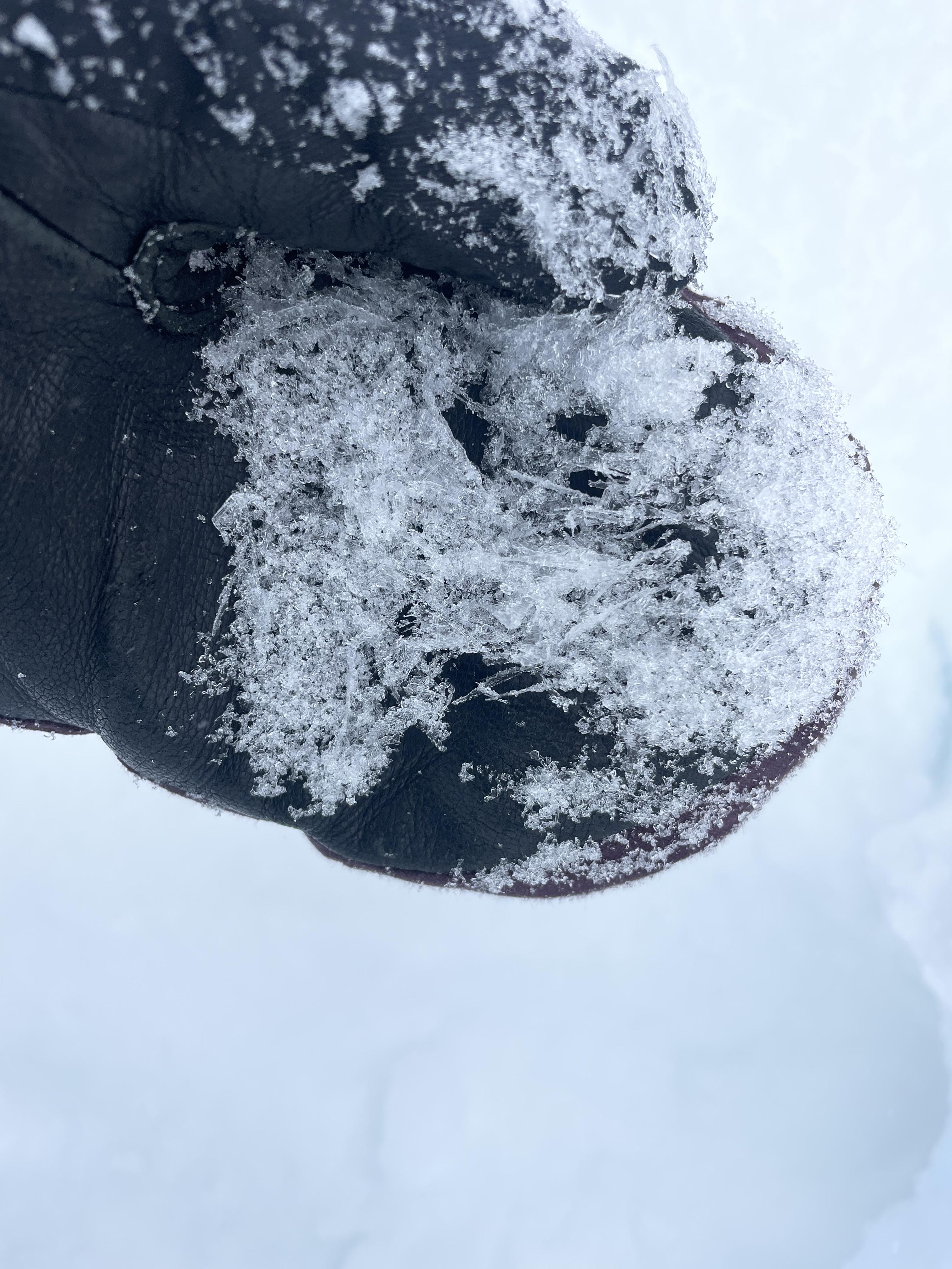
Full Snow Observation ReportFrom email: "Lots of hand pits to look for the SH and only found it in open areas at higher elevations. The SH was 10-15mm in size, well intact and "sturdy", overlaying small-grained facets. In hand pits, the column would fail upon isolation, yet the slab wasn't very cohesive, even in windloaded areas. The hand pits were failing on the facets underneath the SH. Some cr, co at higher elevations.
One crown on the Middle Siren, probably part of the last cycle.
Winds were L-M out of the south and S-1 snow starting at 11am. 1cm of new by end of day. "
Full Snow Observation ReportA small avalanche was noted in Black Bear Canyon on a northeast facing slope. Snow was wind loaded, cornices were seen on nearby slopes. This appeared to be storm slab and likely rider triggered. Slope was greater than 30 degrees.
Full Snow Observation ReportObserved wind slabs forming on top of weak snow. Saw cracking as well. Snowing and blowing on the way out. Photo taken near Texas meadows at 7800’
Full Snow Observation ReportDug pit in a protected area in the trees around 9250’. A layer of soft new snow (about 25cm) was sitting on top of a base of facets. Total snow depth 1m. Thin crust around 50cm. ECT and CT broke near the new snow/facet interface.
In other areas, we saw a thick layer of surface hoar buried about 15-20cm deep. Large striated depth hoar was also observed at areas with snow depth <1ft.
A potential crown was observed from a distance across republic creek on the south side of the drainage.
https://snowpilot.org/node/58881
Full Snow Observation ReportFrom email on 01/13: "From Miller Ridge today, I had a brief look into Sheep Creek, and to the mountains south of Cooke City, and observed 7 fresh slab avalanches (that happened in the last 1-3 days). Will send photos of them later if I can get better views.
Most of them were on NEerly aspects, and appeared to be on the new/old Jan. 5th interface. Mid and upper elevations, most commonly in wind loaded terrain. Some propagating a few hundred feet wide. "
Full Snow Observation ReportFrom email: "Toured into Republic creek with our class. Noted two D2 soft slab avalanches. One on a west aspect and the other on an east aspect at about 9000'. I estimate the crown was 15-40cm deep and likely ran on the same layer as other recent avalanches in the area.
ECTP4 down 25cm on SH in one pit where there was recent wind transport and a more cohesive slab. Other pits in sheltered areas produced ECTN's on the same layer. HS 100cm, 8200', W aspect. Some localized cracking and ,collapsing."
Full Snow Observation Report
